

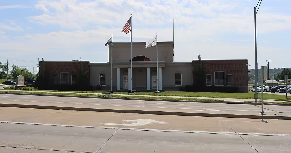
Practical flood guidance for Grain Valley, MO from Freedom Insurance Group with plain next steps.
Looking at flood risk in Grain Valley, MO
Grain Valley has roughly 13,379 residents, located in Jackson County.
Grain Valley is located in the Jackson County area. Drainage and local hydrology drive day-to-day flood exposure more than any single landmark; always verify maps for the exact property.
Standard HO-3 policies exclude flood, a point homeowners and buyers in Grain Valley should remember. Because NFIP coverage is capped, a pricier dwelling may require private or excess flood to approach replacement cost. For an actual zone label, use official FEMA flood maps / SFHA status for Grain Valley, MO instead of assuming.
Missouri flood risk includes major rivers, tributaries, and creeks that rise fast after severe storms. Check SFHA status on current flood maps and compare NFIP with private flood coverage.
Grain Valley homes and separate flood insurance
Most homeowners policies in Grain Valley, MO do not respond to flood damage. A “flood” is typically surface water from heavy rain, rising rivers, storm surge, or drains that cannot keep up, and it can do serious damage even where maps show lower risk.
Carrying a mortgage on a home in a Special Flood Hazard Area (SFHA), lenders usually require flood insurance. Beyond the mapped SFHA, coverage is still worth pricing, since a large share of NFIP claims historically come from moderate- and lower-risk zones. Begin with current FEMA flood maps for Grain Valley, MO (official Flood Map Service Center, search by address), then compare real quotes.
What a flood policy usually covers and what it leaves out
Typically covered (flood form)
- Building / dwelling: Foundation, framing, electrical and HVAC systems, and permanently installed fixtures damaged by flood, within the policy terms.
- Contents (optional): Belongings inside the dwelling, with limits and exclusions.
- Removing debris: Often included within policy limits for clearing debris after a covered flood.
Where people get surprised / confusion
- Additional living expense: Additional living expense is narrower or structured differently than in an HO-3 policy, so read the form.
- Outside property: Landscaping, septic systems outside, and many exterior items may be limited or excluded.
- Moisture without flood: Sewer backup, sump overflow, or appliance leaks may need separate endorsements because they are not classic flood.
Read the specimen policy before binding. Contract wording differs between NFIP and private flood contracts.
NFIP essentials for Grain Valley residents
| Topic | What to know |
|---|---|
| What it is | Federal flood insurance through Write Your Own carriers participating in the National Flood Insurance Program (NFIP). |
| Dwelling limit | The National Flood Insurance Program covers up to $250,000 for a residential building, such as a house, condo, or townhouse. Confirm current limits on your quote. |
| Contents limit | Belongings are covered separately, up to $100,000, and renters can buy this coverage too. Schedule high-value items carefully. |
| Waiting period | Coverage normally begins 30 days after purchase. Buying in connection with a mortgage (new, increased, extended, or renewed) skips the wait, and a home newly mapped into a high-risk zone gets a one-day wait if insured within 12 months (FloodSmart). |
| Private / excess | Private flood markets and excess flood can fill gaps when NFIP caps are too low or underwriting fits better privately. |
Limits, waiting periods, and preferred-risk eligibility change over time, so treat your quote packet as the final word.
What drives flood insurance prices in Grain Valley, MO
Flood cost in Grain Valley depends on the exact address. Homes a few doors apart can price differently because insurers and NFIP-style rating engines weigh map zone, elevation, foundation design, and chosen limits.
Risk Rating 2.0 is the name of FEMA’s pricing method for National Flood Insurance Program policies, used for all policies since April 2023. In plain terms, a Grain Valley home’s price now comes from its own flood risk factors (distance to water, ground elevation, local flood types, and rebuild cost) rather than only the zone printed on the flood map (FEMA).
Flood map and zone classification (including SFHA versus moderate or low risk) affects the rate for Grain Valley properties in Missouri. Always verify the current flood panel for the home itself instead of trusting neighborhood assumptions.
Elevation weighs the lowest floor elevation against Base Flood Elevation when that data applies, and it stays one of the biggest NFIP rating inputs for many buildings.
Construction and foundation type also matter: slab, crawlspace, elevated, and basement designs can price differently on the same lot in Grain Valley.
Replacement cost and coverage limits push the premium when dwelling values climb. Bigger rebuild costs can require private flood or excess flood beyond NFIP limits.
Deductible and contents choices offer extra levers: a higher deductible usually cuts the premium, while contents limits are set separately from building coverage.
Claims and prior losses remain part of the underwriting story. Loss history can affect private-market appetite and pricing for Grain Valley flood quotes.
Flood pricing depends on your building, elevation, and zone, so we quote your actual address. Each address prices differently, so get a quote using the property details.
How Freedom Insurance Group can help in Grain Valley
Freedom Insurance Group is an independent agency licensed in Missouri (and Texas, Colorado, and Tennessee). Here is how we help Grain Valley homeowners:
- Find out whether lender-required flood applies and what documentation closings need.
- Line up NFIP placements with private flood markets when they are available.
- Review excess flood when dwelling values run past NFIP maximums.
- Line up flood with home and auto so you are not wondering which policy pays.
Call (800) 253-1482 or start a flood insurance quote online.
What public data shows about flooding in Grain Valley
Countywide in Jackson County, FEMA tallies 527 residential flood policies in force among about 245,732 residential structures, or about 0.2% of homes. Inside the mapped Special Flood Hazard Area, 332 of 1,068 structures are insured for flood (31%), which means flood coverage is the exception, not the rule.
NOAA’s Storm Events Database logged 3 flash-flood reports and 3 river or areal flood reports within about 5 miles of central Grain Valley from 2016 through 2025; the most recent was in September 2020 close to Tarsney Lakes.
The NFIP Community Status Book shows Grain Valley as a participating NFIP community (number 290737), with its first Flood Insurance Rate Map issued in 1979. The effective map panel date is January 20, 2017.
The Census Bureau’s Gazetteer records Grain Valley at about 6.2 square miles, with little or no open water inside the boundary. Grain Valley lies entirely within Jackson County.
FEMA’s National Risk Index scores inland-flooding risk in Jackson County as “Relatively High”.
Going back to 2000, Jackson County has been included in 8 federal disaster or emergency declarations tied to flooding or tropical weather; the most recent was Severe Storms, Tornadoes, and Flooding (July 2019).
The Census Bureau’s ACS 2020–2024 estimates show that about 12% of Grain Valley’s homes were built before 1980 and 19% since 2010. A home built before the first FIRM (1979) counts as pre-FIRM, and that status can change how a policy is rated.
The USGS Geographic Names Information System (GNIS) places Blue Branch and Swiney Branch within about 2 miles of Grain Valley’s center point. Low ground along waterways like these is where a map check matters most.
Grain Valley’s recorded beginnings date to 1878. FEMA’s first Flood Hazard Boundary Map for Grain Valley is dated 1976, in FEMA’s community records. The first federal major disaster declaration for flooding that named Jackson County was DR-203, Severe Storms and Flooding, declared in July 1965. Before 2000 the county was named in 11 flood-related major declarations in total.